Norway: inhabited branches and linked valleys
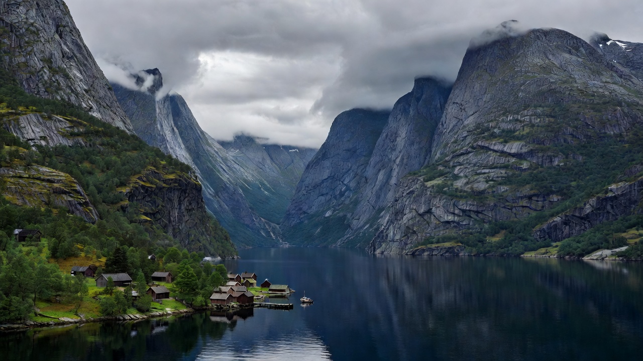
Western Norway combines deep fjord branches with farms, villages and a long history of movement along the shore. Sognefjord reaches far inland, while Nærøyfjord narrows between high slopes. Geirangerfjord is another well-known glacial inlet, with viewpoints that reveal both the main trough and tributary valleys. These are working landscapes as well as visitor destinations, and private land, livestock and local traffic deserve attention.
For an independent journey, choose one cluster rather than treating every famous fjord as a single circuit. Aurland and Flåm offer access to the Aurlandsfjord area, while the Hardanger region has a different arrangement of towns, orchards and crossing points. Ferries can be part of ordinary road travel, but a route that looks direct on a map may involve a timetable or a mountain pass. Rail reaches selected gateways, not every fjord village.
Summer generally brings broader transport options and longer daylight, alongside greater demand. Winter can offer quiet shore-level experiences but changes road reliability, available services and walking conditions. Check individual passes and routes rather than assuming that an entire region is either open or closed.
Iceland: repeated headlands and weather-led pacing
The Westfjords and Eastfjords reward travellers who enjoy the journey between settlements as much as the destination. Ísafjörður provides a practical service centre in the northwest, while Seyðisfjörður and nearby eastern towns sit within a different network of steep valleys and headlands. Repeated inlet crossings can make a modest straight-line distance surprisingly time-consuming.
Iceland’s coastal scenery reflects glacial erosion interacting with volcanic bedrock and other geological processes. Not every small indentation should be casually labelled a fjord. Pay attention to the regional context and avoid treating the entire island as one uniform landscape. The more remote a road becomes, the more a vehicle type, fuel plan and current conditions matter.
Summer is usually the simpler season for a wider road itinerary, but wind, fog and rain remain consequential. Winter travel in the Westfjords requires much more conservative planning. Check the actual road condition and forecast before departing; a previous visitor’s successful drive is not evidence that today’s journey is appropriate.
New Zealand: a road gateway into a much larger wilderness
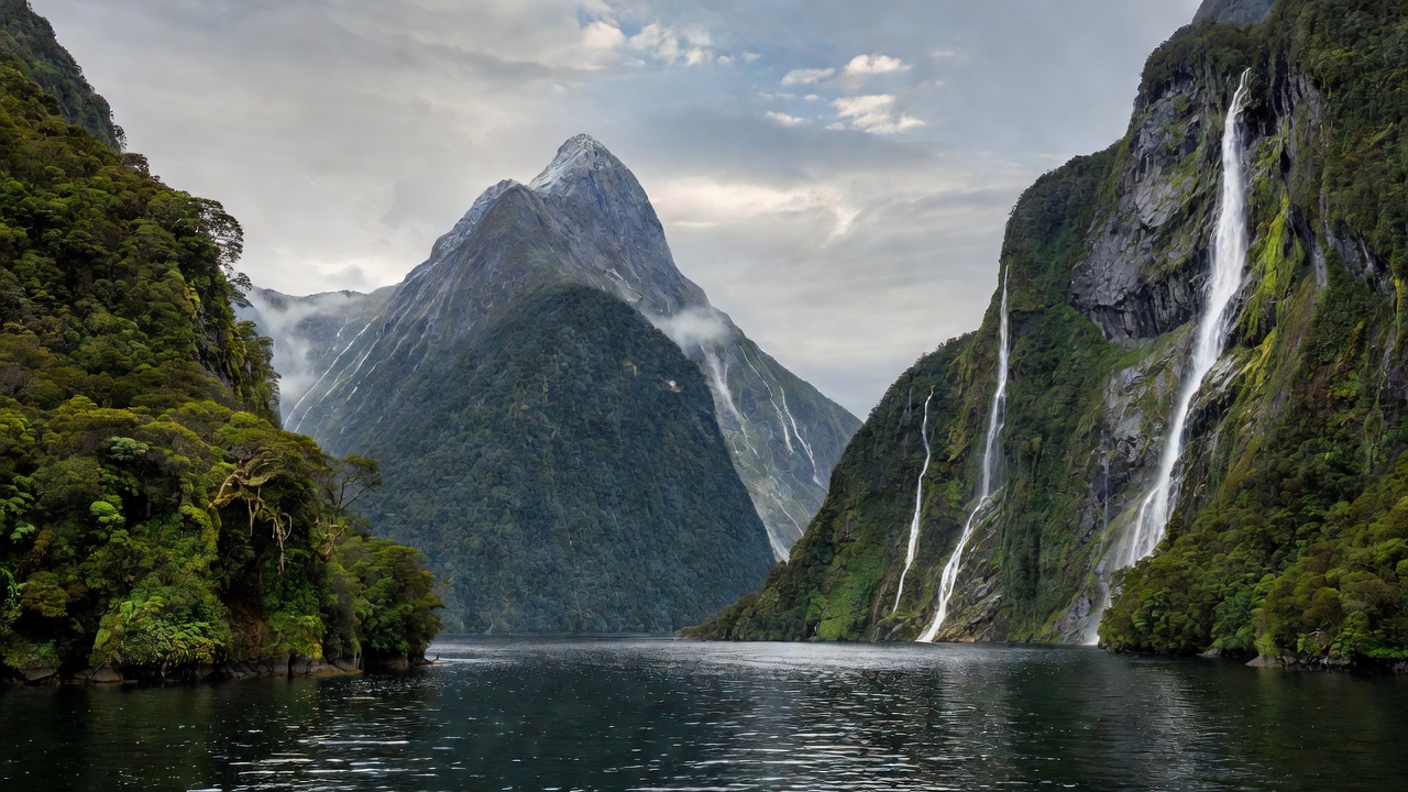
Fiordland / Te Rua-o-te-Waka contains numerous glacial sea valleys, yet road access is concentrated. Milford Sound / Piopiotahi is reached by the Milford Road, with Te Anau serving as a major base. Doubtful Sound / Patea involves different access logistics, commonly combining a Lake Manapouri crossing and travel over Wilmot Pass. It is not an interchangeable roadside stop.
A land-first visit can focus on the Milford Road’s valley scenery, maintained short walks and shore viewpoints. The journey itself deserves time. Heavy rainfall supports waterfalls and rainforest but can also produce flooding, slips and closures. Clear conditions do not remove mountain hazards, and winter introduces additional snow and avalanche considerations.
Do not confuse Fiordland with the Marlborough Sounds at the opposite end of the South Island. The latter are widely described as drowned river valleys and offer a different coastal history, climate and access pattern. Both deserve attention; choosing between them is not a contest over which looks more dramatic.
Chile: channels, archipelagos and larger distances
Southern Chile’s coastal geography combines mainland fjords, island passages and channels shaped within a complex glacial and tectonic setting. Aysén and the landscapes farther south are not a single compact destination. Puerto Chacabuco, Tortel and Puerto Natales belong to different travel networks, with substantial distances between them.
The Carretera Austral provides access to parts of northern Patagonia, sometimes with essential ferry links. It does not make every channel reachable by road. Farther south, visits to remote protected areas may require specialist arrangements, boat transport or carefully coordinated services. A desire to avoid a cruise should not be mistaken for universal land access.
Choose a limited area and leave space around critical connections. Fuel, accommodation and transport frequency become more important away from larger towns. Consult Chile’s official park and road information rather than assuming a road marked on a general map is currently suitable for your vehicle or travel dates.
Planning plate / Relative character, not live schedules
Match the region to the journey
| Region | Useful starting point | Land-first strengths | Main planning constraint |
|---|---|---|---|
| Western Norway | Aurland or a selected fjord town | Settled shores, overlooks, linked valley routes | Ferry timing and seasonal mountain roads |
| Iceland | Ísafjörður or an eastern base | Coastal road journeys and town walks | Wind, road conditions and long detours |
| Fiordland, New Zealand | Te Anau | Milford Road scenery and maintained walks | Concentrated access and mountain weather |
| Chilean Patagonia | A base within one chosen subregion | Channel settlements and selected road corridors | Large distances and limited connections |
Make the comparison personal
If you want frequent changes of base without a car, investigate exact public transport links before choosing a region. If you value quiet observation, a longer stay in one accessible settlement may offer more than an ambitious circuit. None of these regions guarantees solitude, sunshine or continuous road access. The most successful itinerary is usually the one with enough slack to respect its coast.
Check current local information
Start with Visit Norway, Iceland’s road information, New Zealand’s Department of Conservation and Chile Travel. These external resources are not affiliated with this atlas.
Plan Beyond Cruises